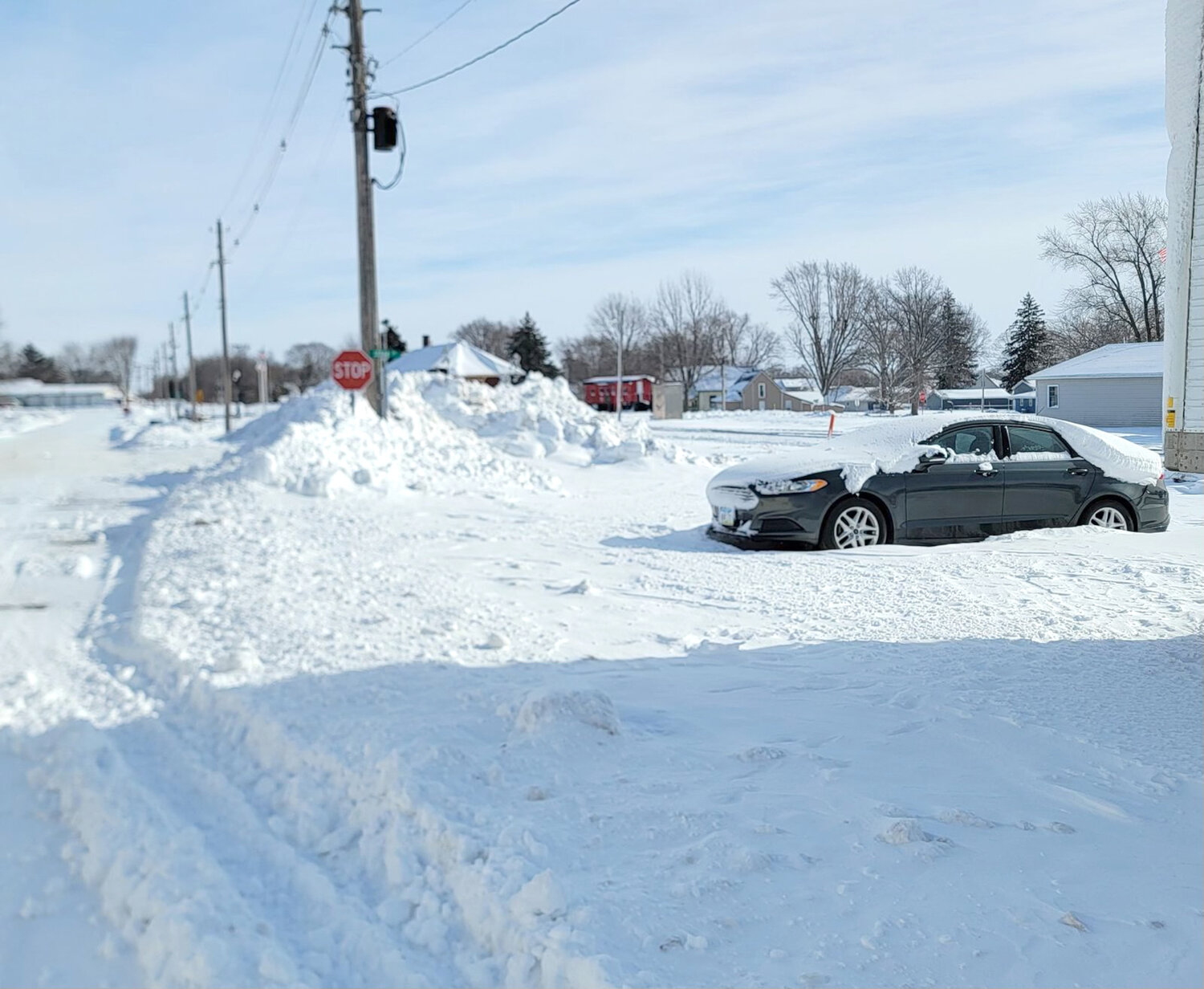


The weather quickly took a turn for the worst in Wilton and Durant last week, with nearly two feet of snow fall and temperatures dipping to nearly 40 below due to wind chill.
“As you can see conditions have continued to deteriorate,” warned Muscatine County Emergency Management/911 on Saturday during the worst of it.
Almost two feet of snow fell over the course of the week, the first half coming Tuesday, Jan. 9 and the second half falling Friday, Jan. 12.
However, the snowfall wasn’t the worst of it. Several wind chill warnings went into effect over the weekend recording dangerously cold temperatures from 30 to 45 below zero.
Hyperthermia and frostbite became very real concerns as community members attempted to dig themselves out of the snow.
“Travel is not advised on state highways,” warned the Iowa State Patrol on Saturday. “This means county and city roads are also not good. Conditions will worsen as the day goes on.”
The State Patrol, along with several other entities, advised everyone in Muscatine County, including Wilton and Durant, to shelter in place during the frigid weather.
Most surrounding county roads and highways were shutdown or declared impassable. Highway 6 From West Liberty to Atalissa closed due to two plows and multiple vehicles getting stuck.
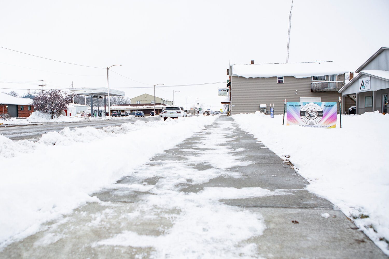
While the weather outside was frightful, the City of Wilton and its community members skated through mostly untarnished.
“You don’t have two feet of snow in one week very often, but I think it went pretty well for what happened,” said Wilton City Manager Jeff Horne.
The City of Wilton declared a second Snow Emergency on Friday, Jan 12, asking downtown residents to park in the lot to the south of City Hall.
In response, Wilton road crews worked all week and into the weekend in order to remove snow buildup. He believes snowfall this last week was greater than the last several years combined.
Durant crews also worked through the week into the weekend, everything went as good as it could according to Durant City Operations Officer/Clerk Deana Cavin.
“I think everything went well,” she said. “A few parking tickets were handed out, but everyone did a good job getting cars off street.”
According to Durant Police Chief Orville Randolph most community members in the town removed their vehicles and sheltered in place during the snow emergency.
“We are pretty fortunate, the residents in town are pretty good,” he said, “We handed out a few tickets, but those were few and far between. Our city crews did a good job cleaning streets after both of the storm systems.”
He noted the department did get a few calls about cars getting stuck in snow drifts, including a county plow that went down into a ditch just south of town.
Wilton dealt with a lot of the same, answering calls about vehicles getting stuck in the snow. Fortunately, no major accidents were recorded within city limits.
“Our police department cleared the way, and our public works cleared the roads,” said Wilton Police Chief David Clark. “I don’t think it gets better than that.”
He reported there were only two major accidents, neither of which he believes were weather related. In one a vehicle took out a flashing school sign on Cypress St.
“I think the city did a really good job, we had a terrific response as far as people complying and keeping their cars off the street,” he said of the snow emergency.
“As far as the City of Wilton we did great. We had a couple of minor fender benders in town and that was about it…. we certainly want people to take precaution.”
Thankfully, no major power outages were reported in Wilton or Durant. Several emergency agencies warned there was a potential for disaster, but the electrical grid held up.
More on the winter weather
Snowfall started light the evening of Monday, Jan. 8, but that quickly escalated overnight. By Tuesday, Jan. 9, a winter storm warning had been issued.
Total snow accumulations varied from 7 to 12 inches across the county by Tuesday evening, with wind gusts as high as 40 mph throughout the day leading to snow drift.
The storm system originally entered Iowa as a rainstorm coming from central and eastern Kansas, but changed over to snow by Tuesday afternoon.
A tow ban was put into place that Tuesday across eastern Iowa after most roads were completely covered in snow.
Due to dangerous whiteout conditions and numerous crashes, travel on I-80 east of Des Moines to the Illinois border was highly discouraged by the Muscatine Iowa Weather StormTeam.
“Don't take these winds and conditions lightly,” it reported on Facebook, “Power outages are popping up all over.”
Tuesday was only the opening act for what turned out to be one of Iowa’s biggest snowstorms in recent years. Winter weather returned in force just a few days later.
Before Friday, Jan. 12, a winter storm warning had been already been issued for the following day, warning that the county would be hit by another round of snow.
During the day an additional 4 to 9 inches of snow fell, highest north of Highway 30, with ice accumulations. Northeast winds gusted as high as 40 mph.
It only got worse after blizzard conditions set in later that Friday, leading into Saturday, Jan. 13. Suddenly northwest winds gusted as high as 50 mph.
Due to wind chill, it became dangerously cold in the evening, with wind chills as low as 40 below zero reported in the area according to the National Weather Service.
Leading into the weekend the dangerously cold wind chills continued. It was cold enough to cause frostbite on exposed skin in as little as ten minutes according to the National Weather Service.
Travel was difficult, if not next to impossible, during the snowfall due to significant wind, drifting snow, and ice that led to dangerous driving conditions and occasional whiteouts.
Arctic air remaining across the region continued to keep dangerously cold conditions across lowa. Wind chill values of -25 to -35 degrees continued through Tuesday, Jan. 16.